


Catalog
All our Solutions
30+ industry software packages for underground networks, construction and land development

-
 Find out more
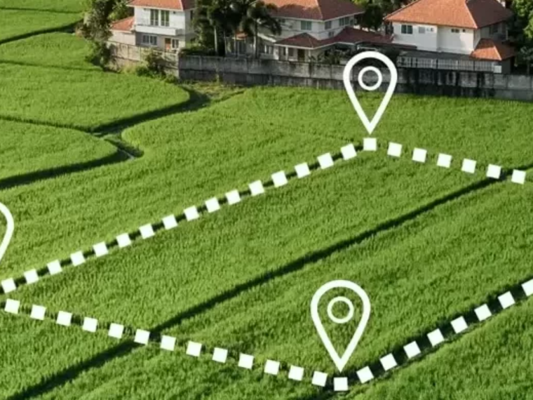
 GeoGexFR CAD
The reference solution for licensed land surveyors
- Contractor
- Design and Engineering Office
- Network operator
- Public authority
- Surveyor | Topographer
-
 Find out more
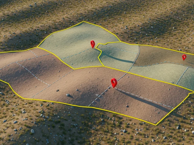
GeoGexFR
The reference solution for licensed land surveyors
- Contractor
- Design and Engineering Office
- Network operator
- Public authority
- Surveyor | Topographer
-
 Find out more
 Eras
The solution for studying overhead and underground networks
- Contractor
- Design and Engineering Office
- Network operator
- Public authority
- Surveyor | Topographer
-
 Find out more
 Camélia
The solution for calculating overhead power lines
- Contractor
- Design and Engineering Office
- Network operator
-
 Find out more
 Atlas
The software for producing small- and large-scale mapping plans
- Contractor
- Design and Engineering Office
- Public authority
- Surveyor | Topographer
-
 Find out more
 AREO
AREO helps local authorities manage their engineering structures methodically and with confidence, by giving them a complete view of their assets
- Public authority
-
 Find out more
 Amiante360
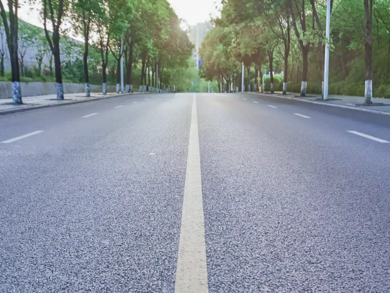
Voirie
Manage asbestos in road surfaces with confidence, from survey to regulatory file.
- Contractor
- Design and Engineering Office
- Public authority
- Surveyor | Topographer
-
 Find out more
 Amiante360
Patrimoine
The solution for simplifying asbestos regulatory compliance in buildings
- Contractor
- Design and Engineering Office
- Network operator
- Public authority
- Surveyor | Topographer
-
 Find out more
 Amiante360
Exposition
The solution for managing your SS3 and SS4 asbestos worksites and tracking operator exposure
- Contractor
- Design and Engineering Office
- Public authority
- Surveyor | Topographer
-
 Find out more
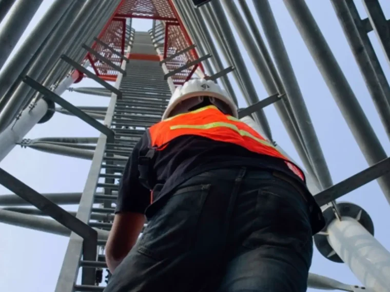
 Comac
The solution for mechanical studies of low-voltage, telephone and fibre-optic networks
- Contractor
- Design and Engineering Office
- Network operator
- Public authority
- Surveyor | Topographer