
Our solutions simplify complexity, strengthen collaboration, and turn data into actionable insights — giving you the tools to keep pace with evolving technical and regulatory requirements while delivering resilient, sustainable projects.
Sogelink supports every stage of your infrastructure project with interconnected tools that speak the same language.
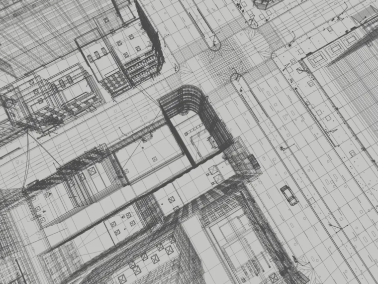
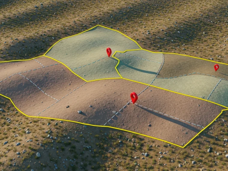
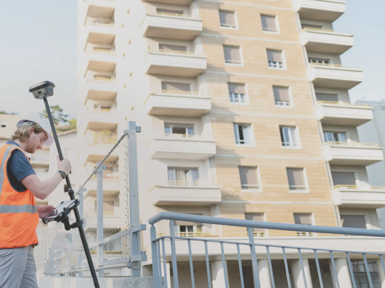
Topographic surveys, LiDAR data processing, 3D modelling, and VRD design.
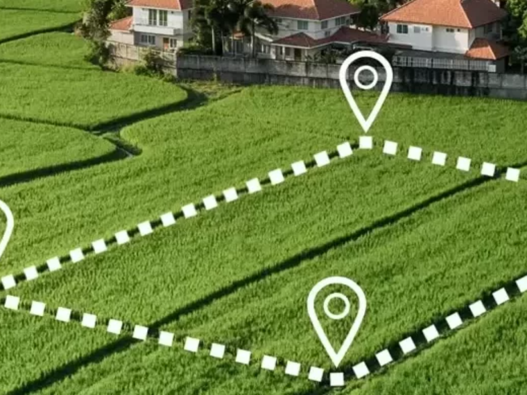
DT/DICT declaration management, stakeholder coordination, and secure work near utility networks.
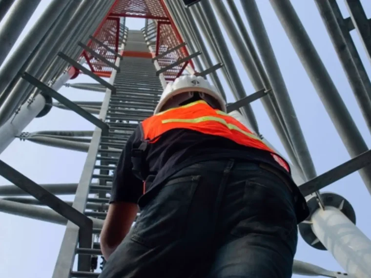
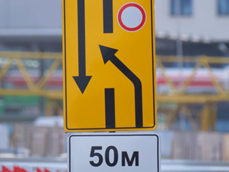
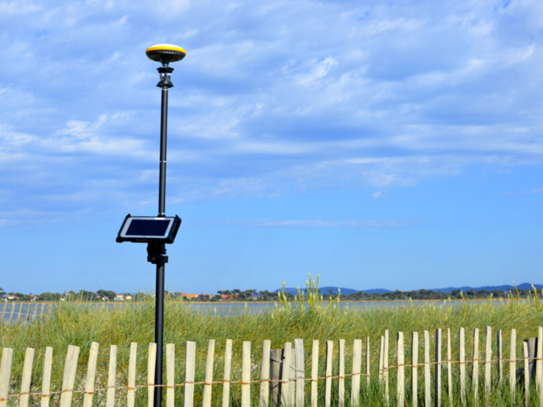
Real-time field monitoring, execution plans, work records, and digital as-built surveys.
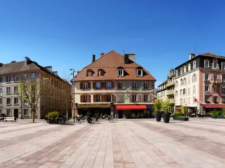
Asset management for networks and infrastructure, business GIS, preventive and corrective maintenance.
From local authorities to telecom operators, including licensed land surveyors and major construction contractors: Sogelink equips the entire chain of land development production.
"*" indicates required fields
13,000
customers
600
employees
+3
present in more than three countries across Europe
13000+
kunder i Sogelink Group
Ce site existe aussi en français
La bascule vous amènera à la page d’accueil du site français.
Version actuelle English French
Deze site bestaat ook in het Nederlands
Bij het wisselen komt u op de homepage van de Nederlandse site terecht.
Huidige versie English Nederlands
Dette nettstedet finnes også på norsk
Ved å bytte kommer du til forsiden av det norske nettstedet.
Gjeldende versjon English Norsk