


All our Solutions

-
 Find out more
 DICT.fr by Sogelink
The platform that makes your work near utility networks safer, from the initial declaration to the opening of the site
- Contractor
- Design and Engineering Office
- Public authority
- Surveyor | Topographer
-
 Find out more
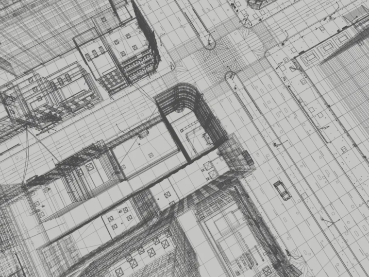
 Covadis
The go-to software for surveying and infrastructure projects
- Contractor
- Design and Engineering Office
- Public authority
- Surveyor | Topographer
-
 Find out more
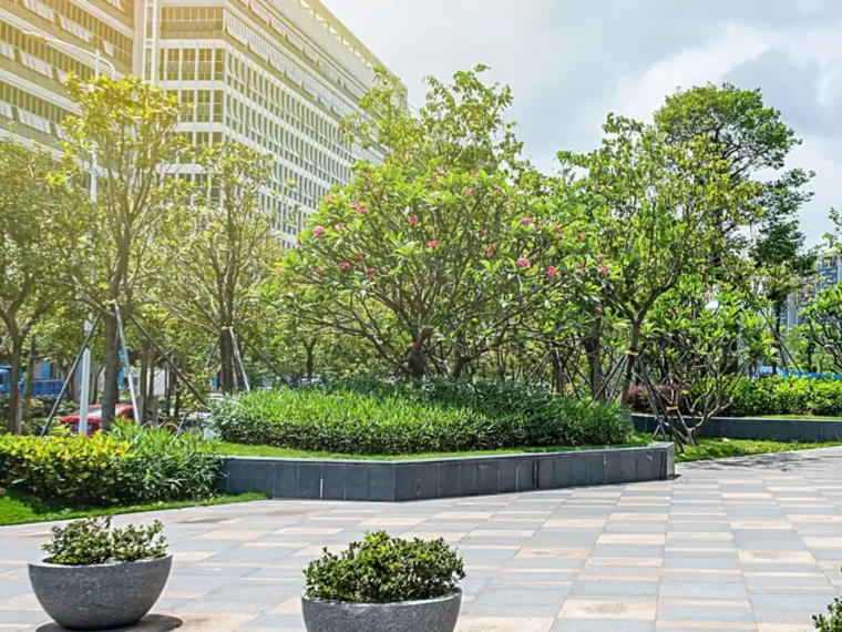
 Mensura
The solution that integrates with your BIM processes for project and works studies in urban development, linear infrastructure and underground networks.
- Contractor
- Design and Engineering Office
- Public authority
- Surveyor | Topographer
-
 Find out more
 Sogelink Connect
The cloud platform that interconnects your business solutions
- Contractor
- Design and Engineering Office
- Network operator
- Public authority
- Surveyor | Topographer
-
 Find out more
 Uniplan
The turnkey network synthesis plan to speed up and secure your projects.
- Contractor
- Design and Engineering Office
- Public authority
- Surveyor | Topographer
-
 Find out more
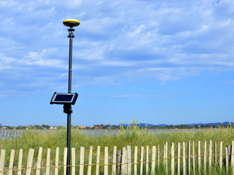
 TopoCalc
Touchscreen tablet surveying software with its own independent graphics engine
- Contractor
- Design and Engineering Office
- Public authority
- Surveyor | Topographer
-
 Find out more
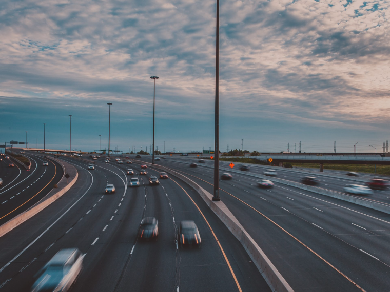
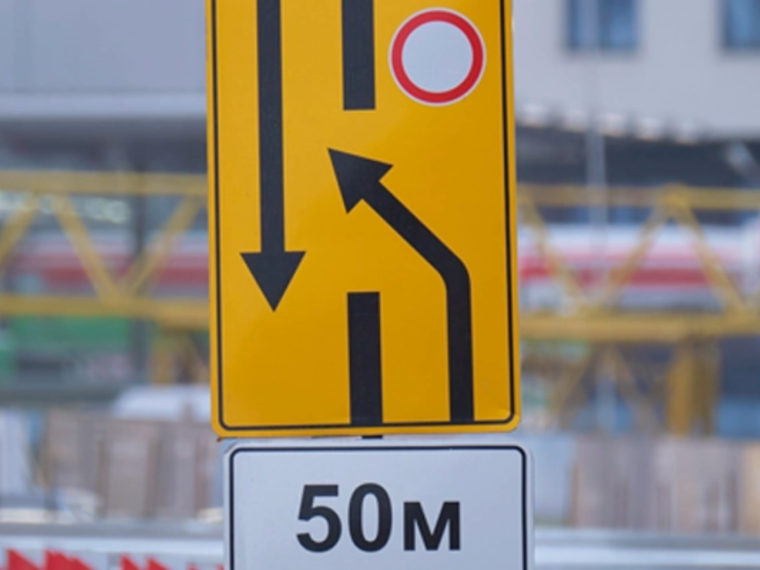
 SIREO
The software package for managing road infrastructure and built assets
- Public authority
-
 Find out more
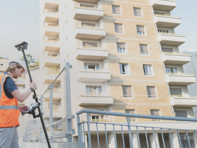
 Littéralis
The software suite for managing, coordinating and monitoring the use of public space
- Public authority
-
 Find out more
 Land2Map
Touchscreen tablet surveying software that works natively in DWG format
- Contractor
- Design and Engineering Office
- Public authority
- Surveyor | Topographer
-
 Find out more
 Geosnap
Sogelink’s photogrammetry solution covering the entire chain — from field acquisition (mobile via the Geosnap Mobile app, action camera such as GoPro/DJI, or drone) to cloud processing — for your topographic survey sites
- Contractor
- Design and Engineering Office
- Public authority
- Surveyor | Topographer