


GeoGexFR CAD

The reference solution for licensed land surveyors

Still weighing your options? Let’s talk
Talk to an expert to learn more about our solutions.
Contact an expertTopographic plans and land operations, in a single tool
GeoGexFR CAD is the reference solution for licensed land surveyors. It meets the need for production of topographic plans and operations to determine land boundaries.
GeoGexFR CAD has a standalone, simple and innovative CAD engine. Even so, the solution also lets you retrieve your existing Covadis data while keeping a 100% DWG format. It also guarantees efficient management of your boundary-marking and surveying operations.
Derived from Covadis technology, GeoGexFR CAD offers an object-based approach that brings design closer to the realities of licensed land surveyors’ work. It is aimed at licensed land surveyors, topographic surveyors, land expertise firms, design offices and local authorities.
Compatible with your existing environment
If you already hold a licence for another CAD engine, contact Sogelink to find out whether GeoGexFR CAD is compatible with your product. The solution is designed to fit into your workflow without disruption.
7 major features
A platform designed for the field.
- Calculate your theodolite or GNSS survey points
- Powerful geocoding: automatic plan generation from a set of coded points
- Insertion of a set of calculated points (coded or not)
- Surveying calculations for survey points
- Georeferencing of your plans
- From a set of points, coded or not, complete the finishing of your plans
- Intuitive, customisable CAD tools adapted to your clients’ graphic charter
- Automatic import of Géoportail orthophotos for plan finishing
- Check the compliance of your drawings with an internal graphic charter or one defined by a client
- Exchange your plans with local authorities and network operators
- Create your 2D development projects and prepare setting-out and costing
- Easily design all your surveying, subdivision and exterior development projects
- Object technology that allows design closely matched to your profession
- Parcel management — Tracking and updating of cadastral parcels throughout their life cycle
- Carry out property-related operations with dedicated boundary plan modules, including boundary survey reports
- Sales plans — Production of the plans needed for property transactions.
- RFU (Unified Land Reference) — Consolidated land database serving as the single reference for all operations
- PV3P (Public Entity Property Report) — Reports dedicated to land operations involving the public domain
- Land survey documents and co-ownership management, including co-ownership plans
- DMPC (Cadastral Parcel Modification Document) — Calculation without Helmert transformation to improve the quality of exchanges with the reviewing authorities
- Raw-coordinate alignment — Automated realignment of parcels according to the tolerances of the cadastral sheet
- Adaptation of buildings, connections to adjacent parcels — Generation of point listings and the final approval sheet
- Secure data exchange with the main CRMs on the market (GxGE Geoprod module)
- Retrieval of cadastral data directly in the software.
- Efficient management of 3D scanner and photogrammetric surveys
- Background point cloud converter
- Horizontal and vertical section commands on point clouds
- New point cloud digitising environment
- New vertical section object: associative sections updated automatically when the plan is modified
- Management of a building scan: digitising of building plans and sections
- Immersive drawing in a street-corridor scan
- Automatically draw your longitudinal profiles and cross-section books
- Create triangulated surfaces (DTMs) from your 3D field data
- Volume calculation
- 3D modelling of the terrain
- Import of Géoportail elevation data for landscape components
- 100% DWG format: native compatibility with AutoCAD
- Retrieval of existing Covadis data with no loss
- Export to ESRI SHP format: export of entities and associated data to GIS systems, independently of the MAP layer
- Integrated 3D presentation with Terravision
- Connectivity with business CRMs (GxGE Geoprod module)
Why choose GeoGexFR CAD?
-
100% standalone DWG solution
Enjoy a standalone, simple, innovative, all-in-one technology. GeoGexFR CAD does not require a third-party graphics engine for most uses — while retaining native compatibility with your DWG files. Retrieve your existing Covadis data with no loss.
-
Technology inspired by Covadis
Easily design all your surveying, subdivision and exterior development projects.
Derived from Covadis technology, GeoGexFR CAD benefits from an established product maturity and user community.
-
Business-oriented software
Benefit from object technology that allows design closely matched to your profession. Every tool, object and module in GeoGexFR CAD is designed for the operational realities of licensed land surveyors: boundary marking, land tenure, surveying, sales plans, land survey documents.
-
Secure the accuracy and legal compliance of the file
GeoGexFR CAD automates the production of files, from data acquisition to delivery of deliverables, with no manual re-entry — reducing the risk of inconsistency and of rejection by the reviewing authorities.
-
Flexibility
Access the platform anywhere and on all your devices. Sogelink Connect is a 100% cloud tool, accessible without installation, and also available on tablet and mobile via an iOS and Android app.
The full Sogelink ecosystem around GeogexFR CAD
-
 Find out more
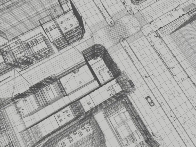
 Covadis
The go-to software for surveying and infrastructure projects
- Contractor
- Design and Engineering Office
- Public authority
- Surveyor | Topographer
-
 Find out more
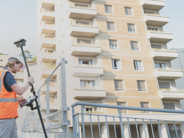
 Land2Map
Touchscreen tablet surveying software that works natively in DWG format
- Contractor
- Design and Engineering Office
- Public authority
- Surveyor | Topographer
-
 Find out more
 Geosnap
Sogelink’s photogrammetry solution covering the entire chain — from field acquisition (mobile via the Geosnap Mobile app, action camera such as GoPro/DJI, or drone) to cloud processing — for your topographic survey sites
- Contractor
- Design and Engineering Office
- Public authority
- Surveyor | Topographer
Would you like a demo or a quote?
Our experts are available to answer all your questions.