


GeoGexFR
The reference solution for licensed land surveyors

Still weighing your options? Let’s talk
Talk to an expert to learn more about our solutions
Contact an expertThe professional solution for licensed land surveyors, on your CAD engine
Licensed land surveyors and topographers must combine technical precision, legal rigour and adherence to deadlines on every land and surveying assignment. GeoGexFR meets these requirements as a professional layer installed on a Computer-Aided Design (CAD) engine — AutoCAD or ZWCAD — that the firm already owns or purchases separately.
GeoGexFR is a targeted version of Covadis technology, proven over many years in land surveyors’ firms. It uses the same business objects, the same configuration files and the same working environment as Covadis, for a frictionless transition between the two solutions — refocused on the needs of the licensed land surveyor: land tenure, surveying, drawing and plan finishing. GeoGexFR does not cover VRD (roads and utilities) design features such as linear projects, platforms, roundabouts or dry and wet utilities.
Running on a full CAD engine (AutoCAD or ZWCAD), GeoGexFR retains access to all the capabilities of the graphics engine: customisation via LISP/AutoLISP, Express menu, and a full GIS (Geographic Information System) module for linking map data and descriptive data. This is the main difference from the all-in-one GeoGexFR CAD version, whose built-in graphics engine (OEM AutoCAD) does not offer these advanced capabilities.
Two ways to acquire it, one external CAD engine
- Runs on an external CAD engine that you already own or purchase separately: AutoCAD (full version, which Sogelink can sell) or ZWCAD (sold by ZW France)
- Available as a perpetual licence (near-permanent right of use + service contract) or by subscription (fixed term: month, 1 year, 3 years)
- Single-user licences (one computer) or network licences (several workstations, up to the number of licences purchased)
- No reconfiguration needed for firms already using Covadis: same business objects, same configuration files, same working environment
GeoGex features
- Reading/writing field books — Import and export of field books from theodolite or GNSS surveys.
- Surveying calculations — Calculate your theodolite or GNSS survey points and generate your plan.
- Coding — Plan generation through powerful geocoding of surveyed points
- Management of scales and survey points — From a set of points, coded or not, complete the finishing of your plans
- Point constructions and geometric constructions — Tools dedicated to constructing topographic and geometric entities
- Libraries of point and line symbols — Horizontal and vertical road signs, embankment and building finishing
- Projection systems and Helmert adjustment — Georeferencing of plans according to the projection systems in force
- Creation and editing of a parcel object — Native management of parcel objects in the drawing
- DMPC survey documents — Generation of Built Property Measurement Documents (DMPC), with import of SPDC data
- Parcel statements, RFU, co-ownership — Parcel inventory, registration in the Unified Land Reference (RFU), co-ownership management
- Boundary plans and boundary survey reports — Production of boundary plans and creation of the associated report (PV)
- Sales plans — Production of sales plans presenting the property to prospective buyers
- Creation of DTMs and contour lines — Digital terrain modelling from surveyed 3D data.
- Longitudinal profiles, cross-sections, sections — Volume calculation and 3D terrain rendering.
- Use of point clouds — Management of 3D scanner and photogrammetric surveys: creation of DTMs, sections and profiles directly on point clouds
- Structure checking and PCRS exchange — Check the compliance of your drawings against an internal or client graphic charter, and exchange with local authorities and network operators.
- GIS imports and exports — StarDT import, Edigéo import, PCI vector import, ESRI SHP export.
- Full GIS module (MAP) — Fully customisable Geographic Information System — not available on GeoGexFR CAD (OEM mode).
- LISP/AutoLISP customisation and Express menu — AutoCAD developments and routines, and access to the Express menu — not available on GeoGexFR CAD (OEM mode)
Automatically generate the sales plans for each lot of a subdivision project.
- Fully configurable title block
- Creation assistant
- Automatic generation of one layout per lot
- Automatic update commands in case of later changes
Automatically retrieve owner and parcel data, with no re-entry.
- Retrieval of owner and parcel data
- Direct import from the SPDC (Professional Cadastral Data Server)
- Or import from the firm’s CRM: Moduleo, Everwin, Geoprod
Automatically generate the boundary survey report from field data.
- Alignment of the cadastral plan with the survey
- Identification of the parcels concerned
- Identification of corners and boundaries
- Automated writing of the boundary survey report
Generate the Report on the Delimitation of Public Entity Property (PV3P).
- Alignment of the cadastral plan
- Identification of the parcels concerned and of the public entity
- Identification of alignment corners
- Hatching of transfer areas
- Automated writing of the PV3P
Why choose GeoGexFR?
- 85 % of licensed land surveyor firms in France are equipped with GEOGEX
- Over 90% of DMPCs published on the Géofoncier portal come from Sogelink
-
Manage your activities in a single solution
With GeoGex, built directly into CAD software, the surveyor carries out all their land, surveying and co-ownership files, profiles, volume calculations and point-cloud processing, from the field through to delivery, without multiplying business software.
-
Technology inspired by Covadis
Easily design all your surveying, subdivision and exterior development projects.
Derived from Covadis technology, GeoGex benefits from an established product maturity and user community.
-
Business-oriented software
Benefit from object technology that allows design closely matched to your profession. Every tool, object and module in GeoGex is designed for the operational realities of licensed land surveyors: boundary marking, land tenure, surveying, sales plans, land survey documents.
-
Secure the accuracy and legal compliance of the file
GeoGex automates the production of files, from data acquisition to delivery of deliverables, with no manual re-entry — reducing the risk of inconsistency and of rejection by the reviewing authorities.
The full Sogelink ecosystem around GeoGex
-
 Find out more
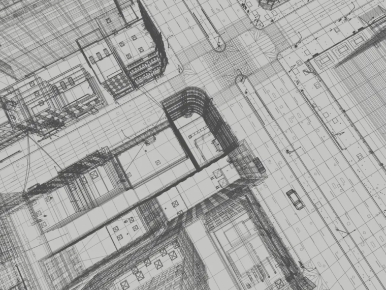
 Covadis
The go-to software for surveying and infrastructure projects
- Contractor
- Design and Engineering Office
- Public authority
- Surveyor | Topographer
-
 Find out more
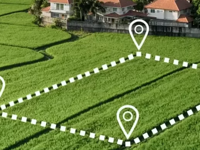
 GeoGexFR CAD
The reference solution for licensed land surveyors
- Contractor
- Design and Engineering Office
- Network operator
- Public authority
- Surveyor | Topographer
-
 Find out more
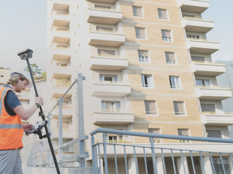
 Land2Map
Touchscreen tablet surveying software that works natively in DWG format
- Contractor
- Design and Engineering Office
- Public authority
- Surveyor | Topographer
-
 Find out more
 Geosnap
Sogelink’s photogrammetry solution covering the entire chain — from field acquisition (mobile via the Geosnap Mobile app, action camera such as GoPro/DJI, or drone) to cloud processing — for your topographic survey sites
- Contractor
- Design and Engineering Office
- Public authority
- Surveyor | Topographer
Would you like a demo or a quote?
Our experts are available to answer all your questions.