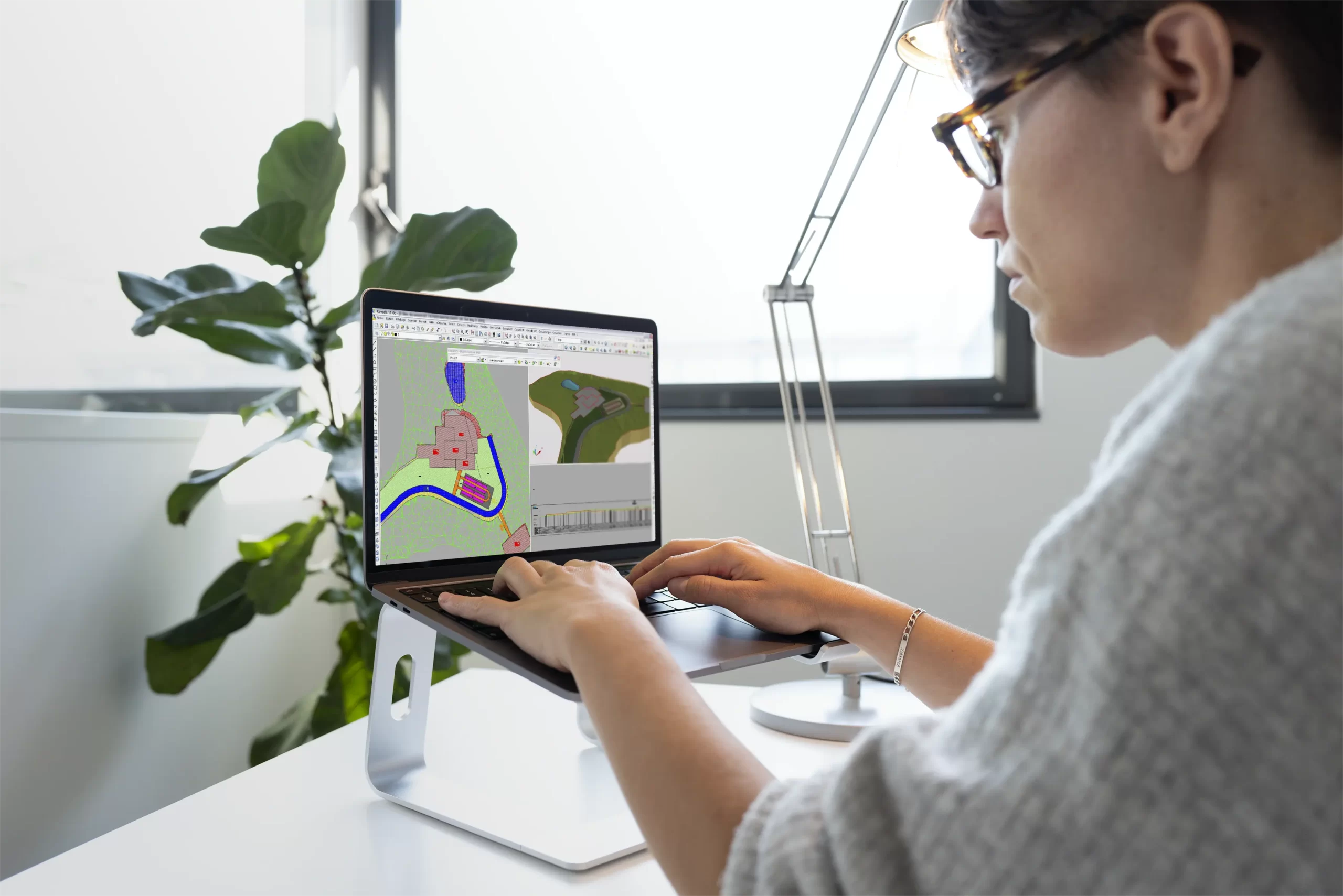


The reference software for surveying and infrastructure projects

Covadis is the software for infrastructure design offices, public works companies, local authorities, and licensed surveyors.
Powered by its AutoCAD engine, it supports network infrastructure projects from the design phase onwards and brings together all VRD trade modules.

Our teams are available to answer any questions or arrange a product demo.
 Contact us


Covadis 2027 marks a new milestone for design offices, surveyors, and local authorities.
This version enhances the INFRA by Sogelink ecosystem with complete Energy & Telecommunications network modelling and a redesigned interface for greater efficiency at every project phase.
Discover Covadis 2027

A native AutoCAD graphics engine : Fully integrated into AutoCAD, Covadis delivers the best rendering in the standard DWG delivery format, adopted across the entire construction sector.

A complete solution : Design all your surveying, VRD, and landscaping projects: a single software solution covers the entire project lifecycle, from site acquisition to delivery.

100% BIM technology : Benefit from trade-oriented object technology enabling parametric design, IFC and LandXML exports, and full interoperability with digital modelling tools.
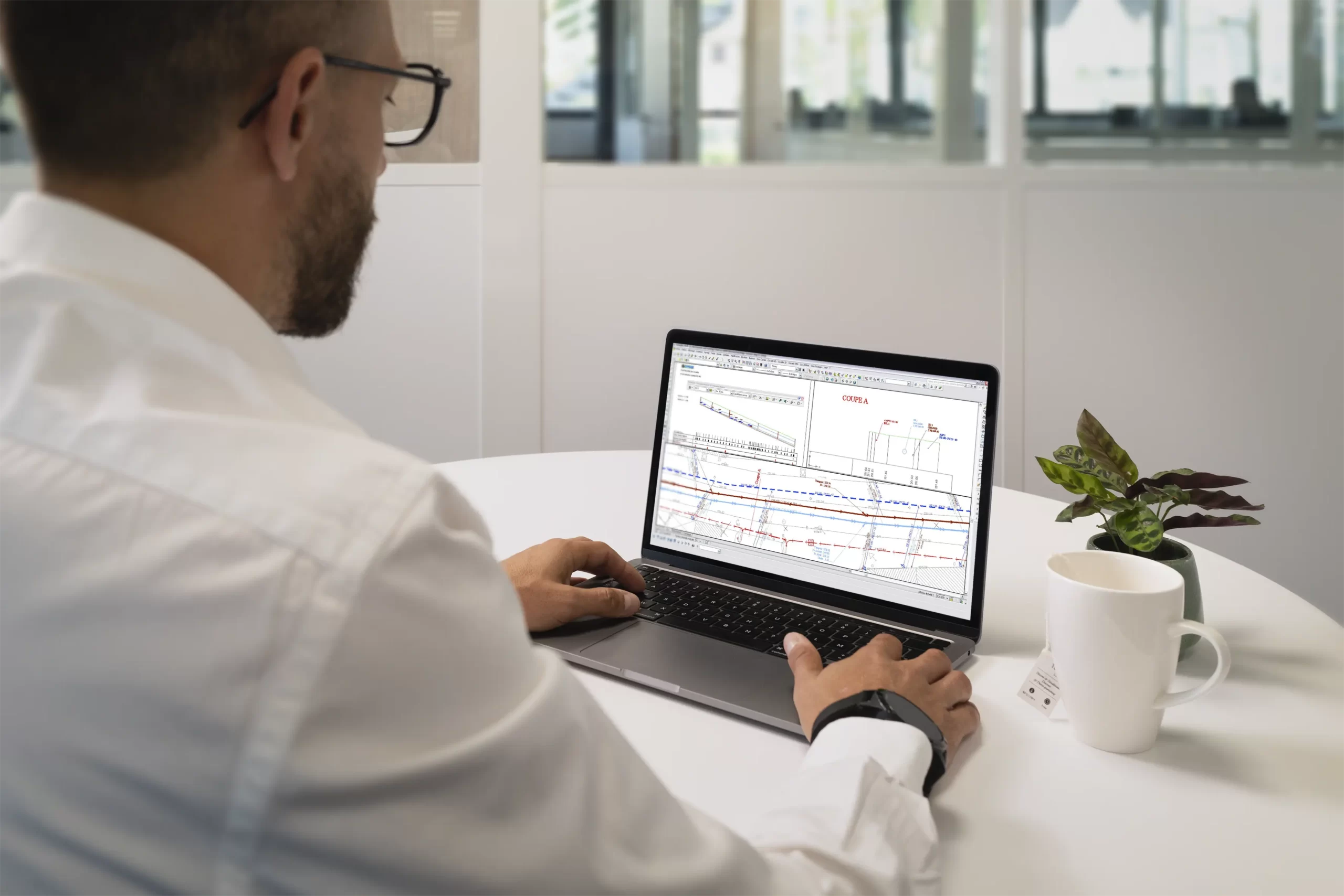
AutoPISTE is the add-on module for Covadis dedicated to road and motorway design. Fully compliant with BIM processes and current regulations, it applies the design methods used by road engineers directly within the AutoCAD environment.
It covers all road design requirements: horizontal alignment definition with management of straight and curved alignments, vertical and cross-section profile calculation, T and X intersection modelling, roundabouts, slip roads, and turning templates. Soil texture management and graphical point input in expert standard cross-sections have been improved in Covadis 2027.
AutoPISTE produces all expected regulatory deliverables: drawings, quantity surveys, schedules, and BIM exports.
Discover the AutoPISTE module

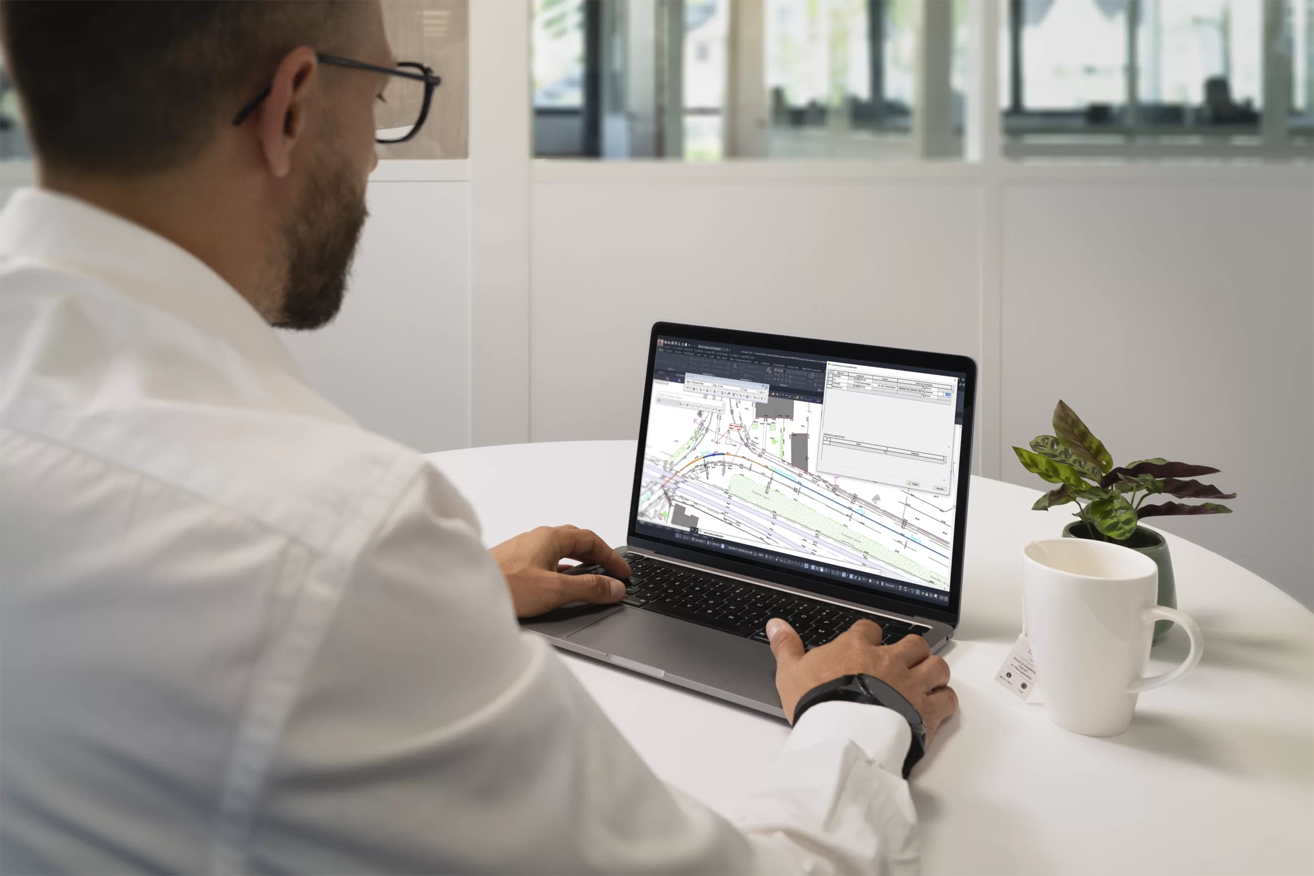
GeoRail is the Covadis module dedicated to railway projects. With an innovative CAD/BIM approach, it supports designers on all types of railway infrastructure, from tramways to high-speed lines, through 3D analysis and parametric design capabilities.
GeoRail handles graphical point input in expert standard cross-sections, ballast dimensioning with enhanced options, expansion joint labels with opening data, and additional altimetric references for 3D symbols. Its toporail import, strengthened in Covadis 2027, makes it easier to incorporate survey data directly into your railway projects.
Learn more about GeoRail

 Collaborate internationally with Covadis
 Master your field surveys from A to Z
Design and estimate your 2D projects with precision
Produce compliant, georeferenced drawings
Manage your land operations with full rigour
Model the terrain in 3D and analyse your environment
Design your most complex VRD and infrastructure projects
Master your field surveys from A to Z
Design and estimate your 2D projects with precision
Produce compliant, georeferenced drawings
Manage your land operations with full rigour
Model the terrain in 3D and analyse your environment
Design your most complex VRD and infrastructure projects
Covadis 2027 is now available in an international version, with a fully English interface and deliverables.
This version installs independently of the French version and requires an English-language AutoCAD, facilitating collaboration between international teams and expanding the range of addressable projects.
Covadis 2027 is now available in an international version, with a fully English interface and deliverables.
This version installs independently of the French version and requires an English-language AutoCAD, facilitating collaboration between international teams and expanding the range of addressable projects.
Covadis 2027 runs on all recent versions of AutoCAD, in French or English. The international version requires an English-language AutoCAD and installs independently of the French version. Refer to the getting started guide in your Sogelink client space for full prerequisites.
Covadis 2027 brings complete dry network modelling (electrical, lighting, telecom) with 2D and 3D visualisation, a ribbon navigation mode, and an international English version. GeoRail and AutoPISTE also benefit from targeted improvements to standard cross-sections, dimensioning, and exports.
From Covadis 2027, yes. The networks module has been enhanced with complete dry network modelling: electrical, public lighting, and telecommunications. It is possible to model ducts, cables and associated point objects with all dimensioning, annotation, profile, and quantity survey tools, and to export to IFC, ESRI Shape, or Terravision.
Covadis is the main platform, covering surveying, VRD, networks, land management, and BIM. AutoPISTE is the add-on module dedicated to road and motorway design (alignments, intersections, turning templates). GeoRail is the module dedicated to railway projects (tramway, high-speed, ballast dimensioning, expansion joints, toporail). These modules integrate into the Covadis AutoCAD environment.
Yes. Covadis is used by many local authorities for the management and design of their infrastructure projects. It supports PCRS exchange with network managers and integrates the land management functions useful to technical services: surveying documents, parcel schedules, RFU.