
Discover Covadis 2027

published on 26 June
News

With Covadis 2027, accelerate your network infrastructure design projects

Integrated into the INFRA by Sogelink offer, Covadis 2027 opens new horizons for engineering firms, surveyors and local authorities using the tool. Model your Energy & Telecommunication networks and navigate a completely redesigned interface to go faster at every stage of your projects.
Model your Energy & Telecommunication networks

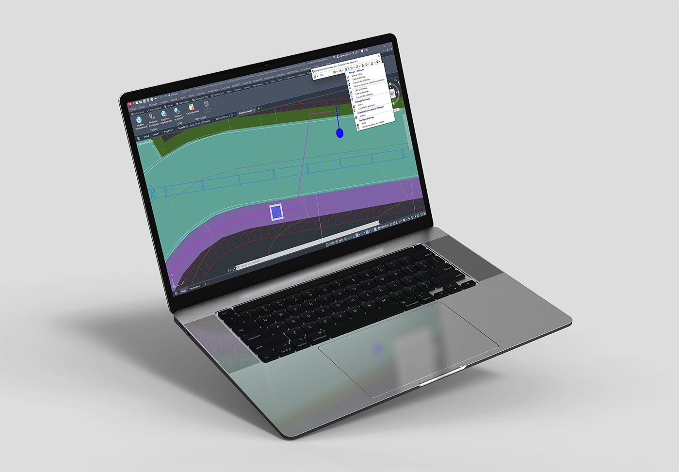
Covadis 2027 enhances the network module with full modelling of dry networks: electrical networks, lighting networks and telecom networks. It is now possible to model ducts and cables as well as the associated point objects, with 2D and 3D visualisation.


All the tools needed to design your projects are included: numbering, dimensioning, annotation, legends, longitudinal and cross-section profiles, listings and quantities, BIM properties, IFC export, ESRI Shape and Terravision export. Interactions with drainage networks are also managed.
Navigate more intuitively with ribbon mode

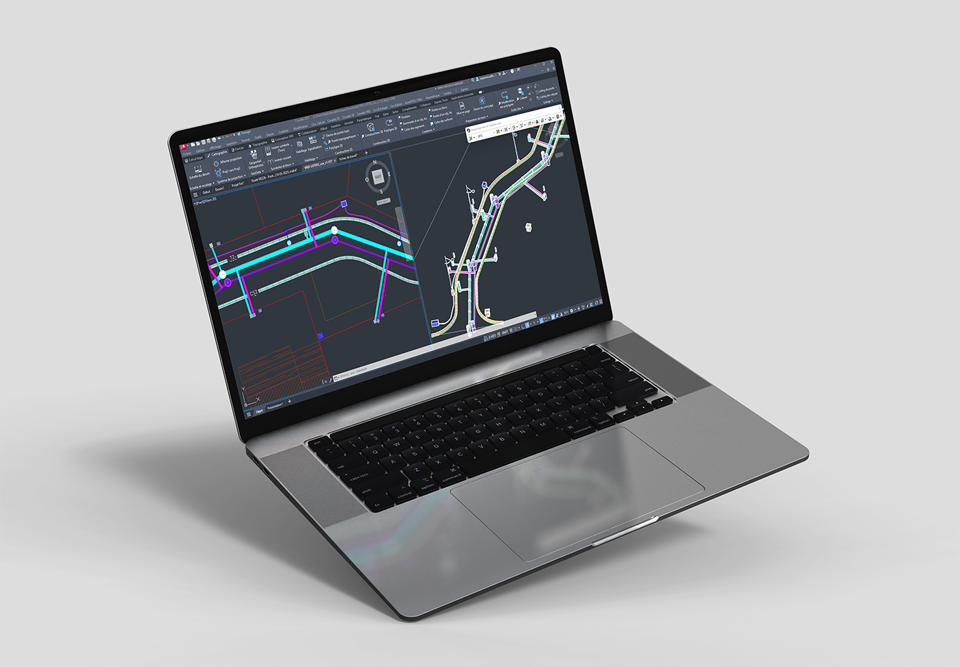
Covadis 2027 introduces ribbon mode into its interface, based on AutoCAD’s approach.


Three types are available:

  • permanent ribbons for direct access to the main functions,
  • temporary ribbons for advanced contextual commands,
  • and contextual ribbons that display dynamically based on the current graphical selection.


Traditional menus and toolbars remain accessible for those who wish to keep their existing working habits.

Covadis 2027 also introduces several optimisations:

  • Covadis VRD: Clarification of the turning template, application of dressing settings for linear objects, improved visibility of standard cross-sections and automatic filling of originating_system in IFC export.
  • Centralisation of user information : Define your user information so that it is automatically included in your LandXML, IFC and other exports. Signatory Chartered Surveyor profiles can also be configured for the DMPC and Co-ownership modules.
  • AutoPISTE / GeoRail: Improved management of ground type textures and graphical input of points in expert standard cross-sections.
  • GeoRail: Addition of opening information in expansion joint labels, new ballast dimensioning options, additional altimetric references for 3D symbols and enhanced options in toporail import.

How to download this new version?


Do you already have a Sogelink account?
Log in to your Sogelink customer portal

Download Covadis 2027

Don’t have a Sogelink account yet?
Create your account in a few clicks

Create one now