Land2map

Land2Map

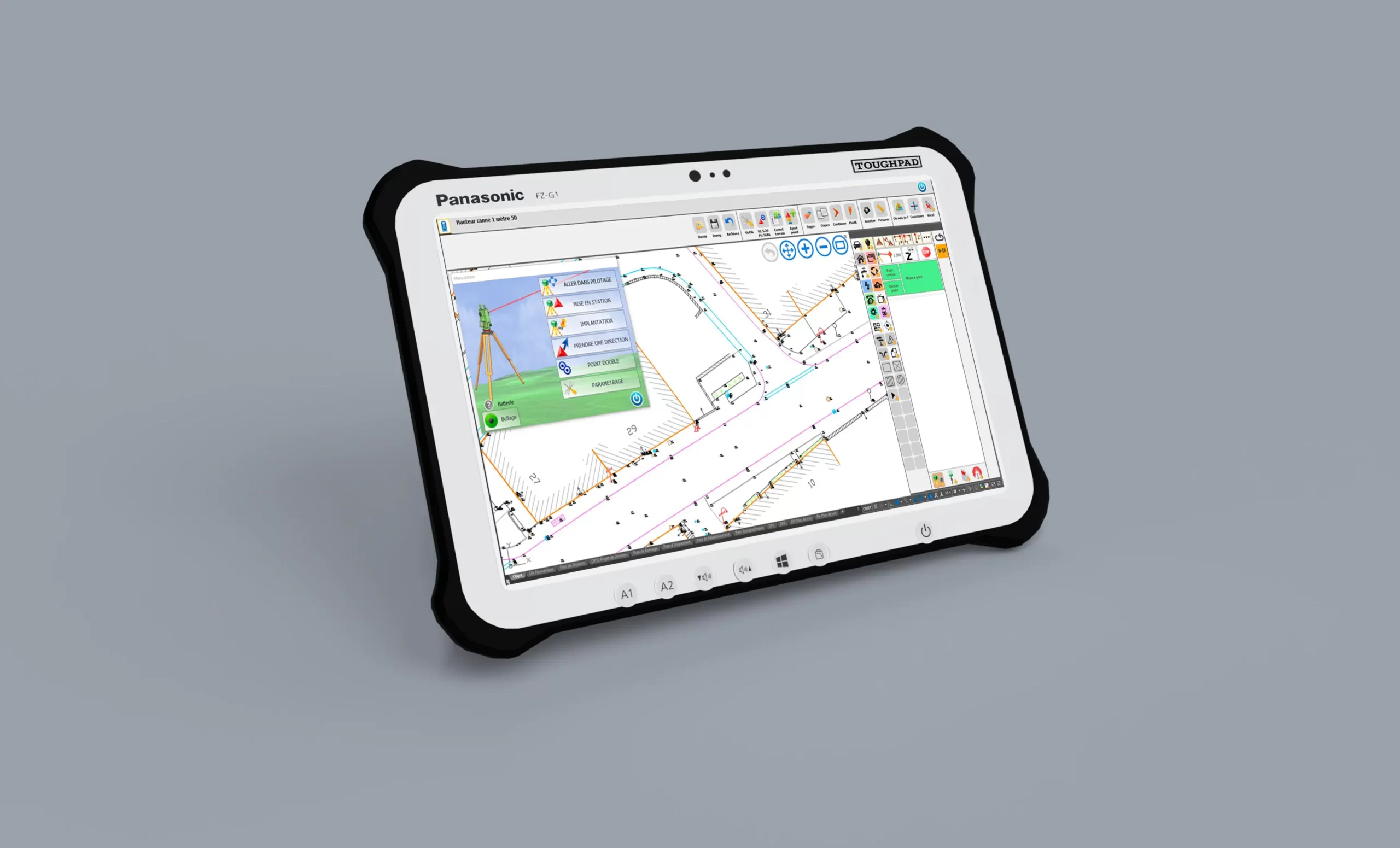
THE TOPOGRAPHIC SOLUTION ON A TOUCH TABLET IN DWG OR MICROSTATION FORMAT

DISCOVER LAND2MAP 


Perform your 2D/3D topographic measurements, the detection, location and network as-built with Land2Map 

Land2Map is an all-in-one mobile topographic solution that offers a unique approach on an AutoCAD touch tablet. Extremely multipurpose, the solution is adapted to your specifications and will replace your field notebook. 

Thanks to its innovative technology, Land2Map allows the management via Bluetooth of most topographic tools, total stations and GPS of the market, offers a complete survey visibility at the same time. 

  • Land2Map is a true assistant for your construction location and improves your onsite productivity. 
  • Land2Map is compatible with the main manufacturers on the market: Leica Geosystems, Trimble, Topcon, Spectra, Sokkia. 
  • Land2Map adapts to the graphic charts required by all clients and complies with national regulations. 

THE BENEFITS

Innovative 2D/3D measurement method

Sogelink- make contruction simple

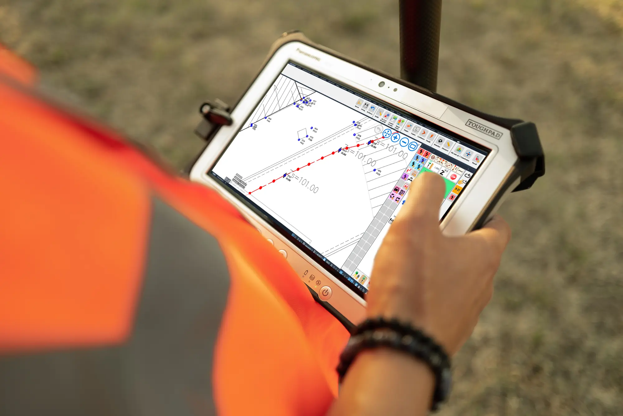
Access to a real universal controller to manage your topographic tools while visualising your measurement

Georeferencing of networks

Réseaux

Set up your network with a free two-sensor station, with direct GPS measurements, or by topometric calculation (TopoMathrix)

Easy to implement and measure

geogex fr cad

Create, modify and monitor your projects in real time using a graphical interface

Exploitation reseaux

Are you interested in Land2Map?

Would you like to know more about Land2Map?
Would you like to one of our teams to contact you?

Contact us