THE CLOUD SOLUTION FOR MANAGING AND PROCESSING YOUR CONSTRUCTION SITES
DISCOVER GEOSNAP
Access SaaS-based technologies to simplify and improve site workerproductivity.
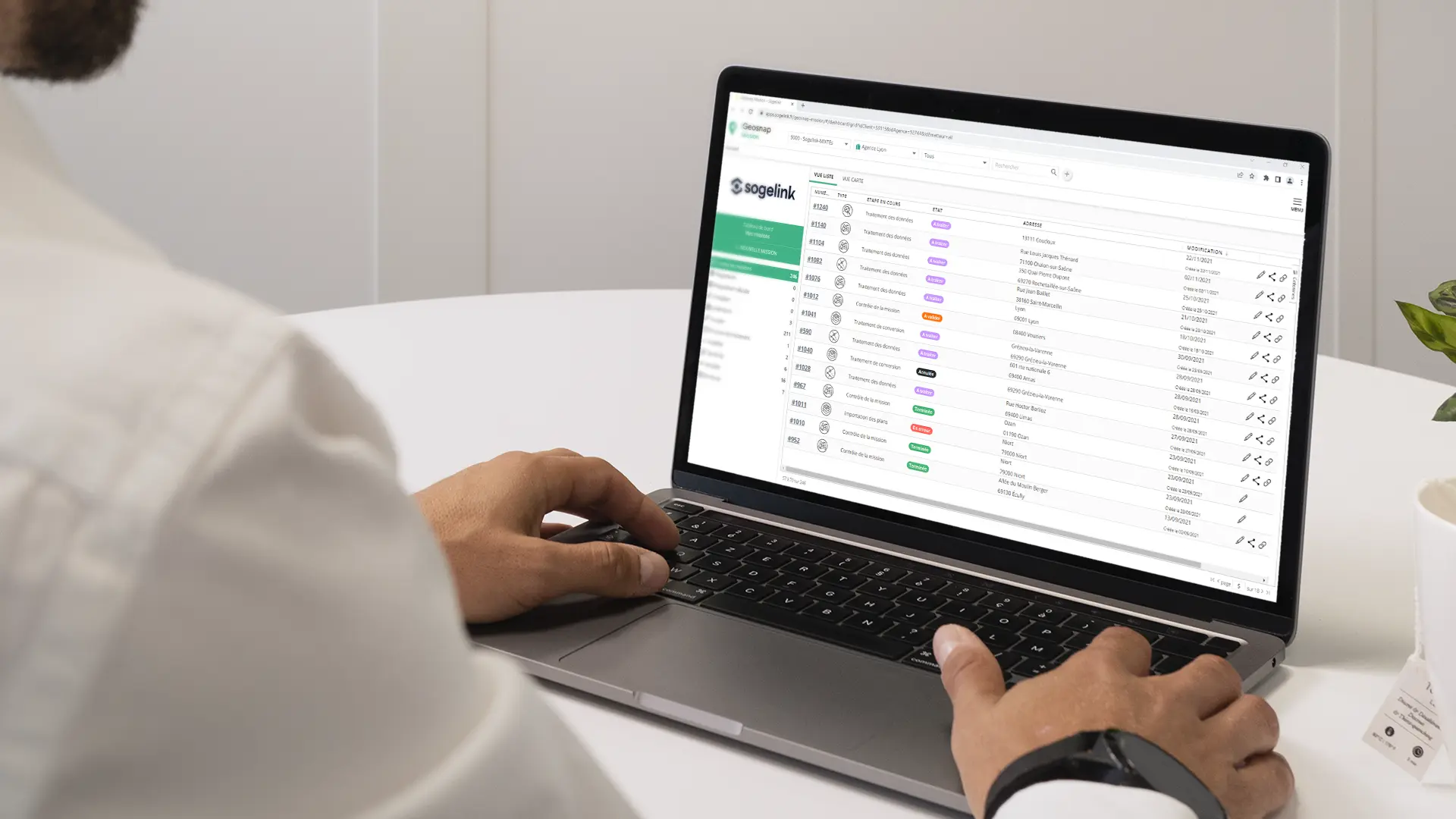
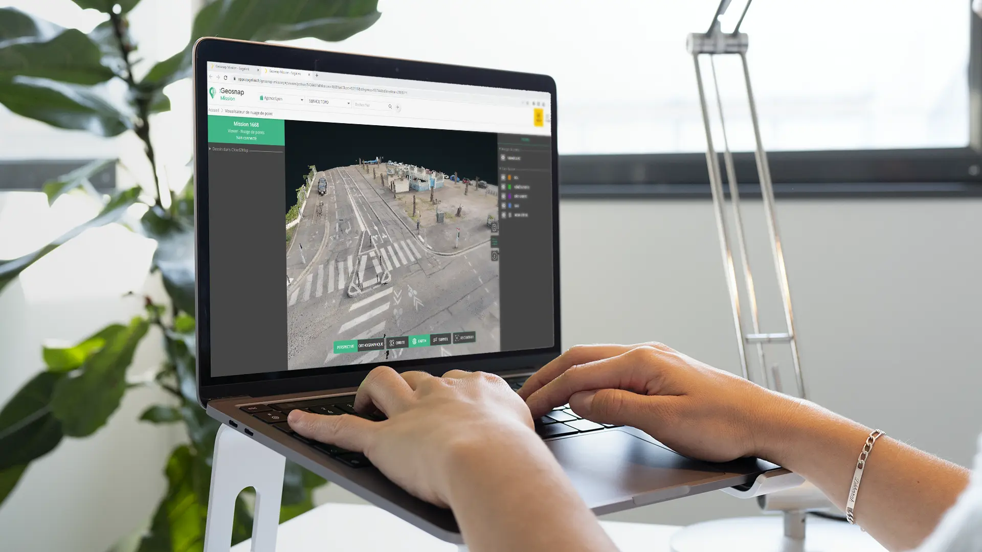
Geosnap provides access to innovative technologies accessible from a simple web browser. It allows the processing of business data (photogrammetry, CAD to GIS conversion) or the visualisation of technical data (point clouds, DWG, DGN, etc.). Increase your productivity with Geosnap! This software can be used anywhere, in the office or on site and allows you to manage and visualise all your projects in a single interface.Take advantage of a SaaS-based software that can process your data 24/7. Geosnap is a service, all you need to use it is an Internet connection:
maintain your survey quality without investing in new hardware or software,
view your 3D data in a web viewer,
view and annotate CAD drawings (DWG, DXF, DGN),
create adapted and optimised projects for your different constructionsites (topographic plans, complementary investigations,surveyplans, asbestos road diagnosis)
securely archive all documents produced.
THE BENEFITS
Are you interested in Geosnap?
Would you like to know more about Geosnap?
Would you like to one of our teams to contact you?