

THE 3D DATA VECTORISATION SOLUTION FROM LASERGRAMMETRY AND PHOTOGRAMMETRY ACQUISITIONS
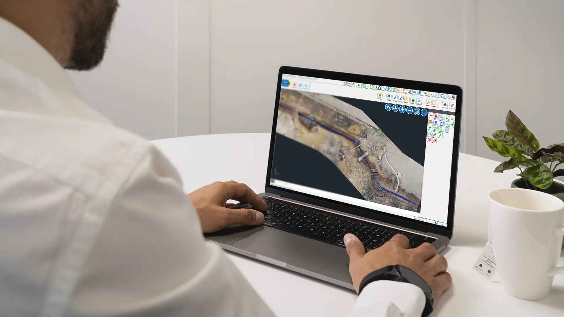
Cloud2Map is a CAD solution enabling 3D datas vectorisation from lasergrammetry and photogrammetry acquisitions, thanks to the integration of 3D point clouds or orthophotos, directly in the tool and in interoperability with the main 3D mobile acquisition processing softwares on the market.
Cloud2Map allows you to improve your productivity when carrying out open trench surveys and topographic plans.
Its ergonomic interface makes it easy to produce georeferenced plans with centimetric precision, respecting the symbology of the imposed graphic charter.
Cloud2Map intervenes during the project preparation with the integration of georeferenced plans (cadastral import, IGN cartography), until the restitution of the deliverables and by providing plans that comply with the technical requirements of DWG, SHP and GML formats.
Built on an AutoCAD base, Cloud2Map is interconnected with the majority of dynamic 3D acquisition processing software programmes (Orbit GT, CycloMedia, Viametris, Leica’s Pegasus Manager), thus allowing optimised navigation in the point cloud or photos. Interoperability eases 3D vector map production from the data provided by the mobile mapping system (dynamic 3D acquisition).
Vectorisation of the point cloud

Improving the productivity of your topographic surveys thanks to photogrammetry and lasergrammetry
Data exchange

Capturing and providing drawings in DWG, SHP, GML and other formats
User-friendly interface

Taking advantage of the best tools to combine productivity and ergonomics

Would you like to know more about Cloud2Map?
Would you like to one of our teams to contact you?